Paddington Arm, Grand Union Canal (Kensal Road Stretch)
Photos taken between 6:06pm and 6:42pm
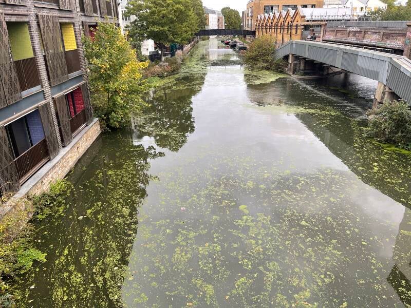
View from Ladbroke Grove Bridge looking East
There are scattered patches throughout the foreground and more concentrated accumulations towards the banks and around the bridge. Importantly, the duckweed no longer forms the almost continuous carpet seen previously.
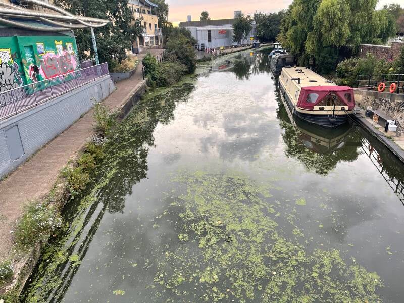
View from Ladbroke Grove Bridge looking West
After the extensive duckweed coverage recorded during previous observations, large areas of open water have returned. Duckweed remains present in scattered and fragmented patches, particularly around the canal margins
click to enlarge image
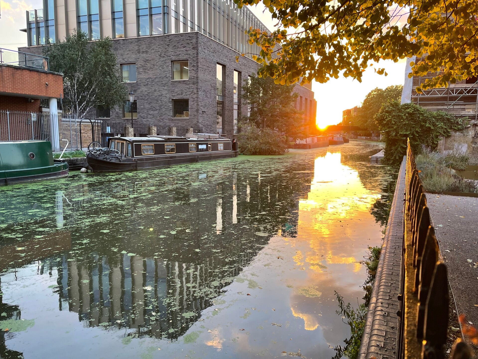
There is a substantial open-water corridor possibley due to boats passing by. Duckweed has accumulated predominantly along the left side and around the moored boats.
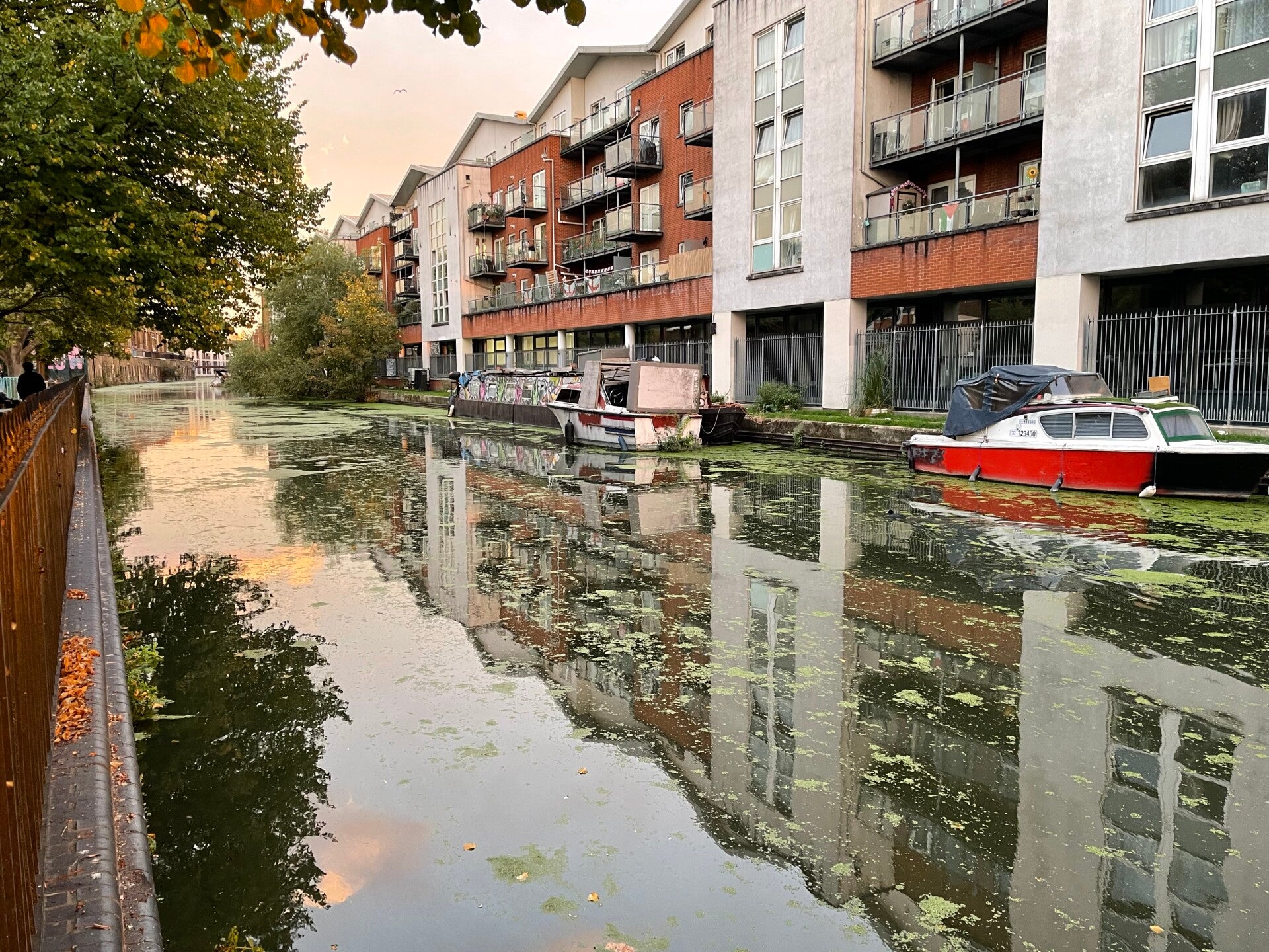
The vegetation is highly fragmented into relatively small patches, with considerably more open water than in the heavily covered photographs from the previous period.
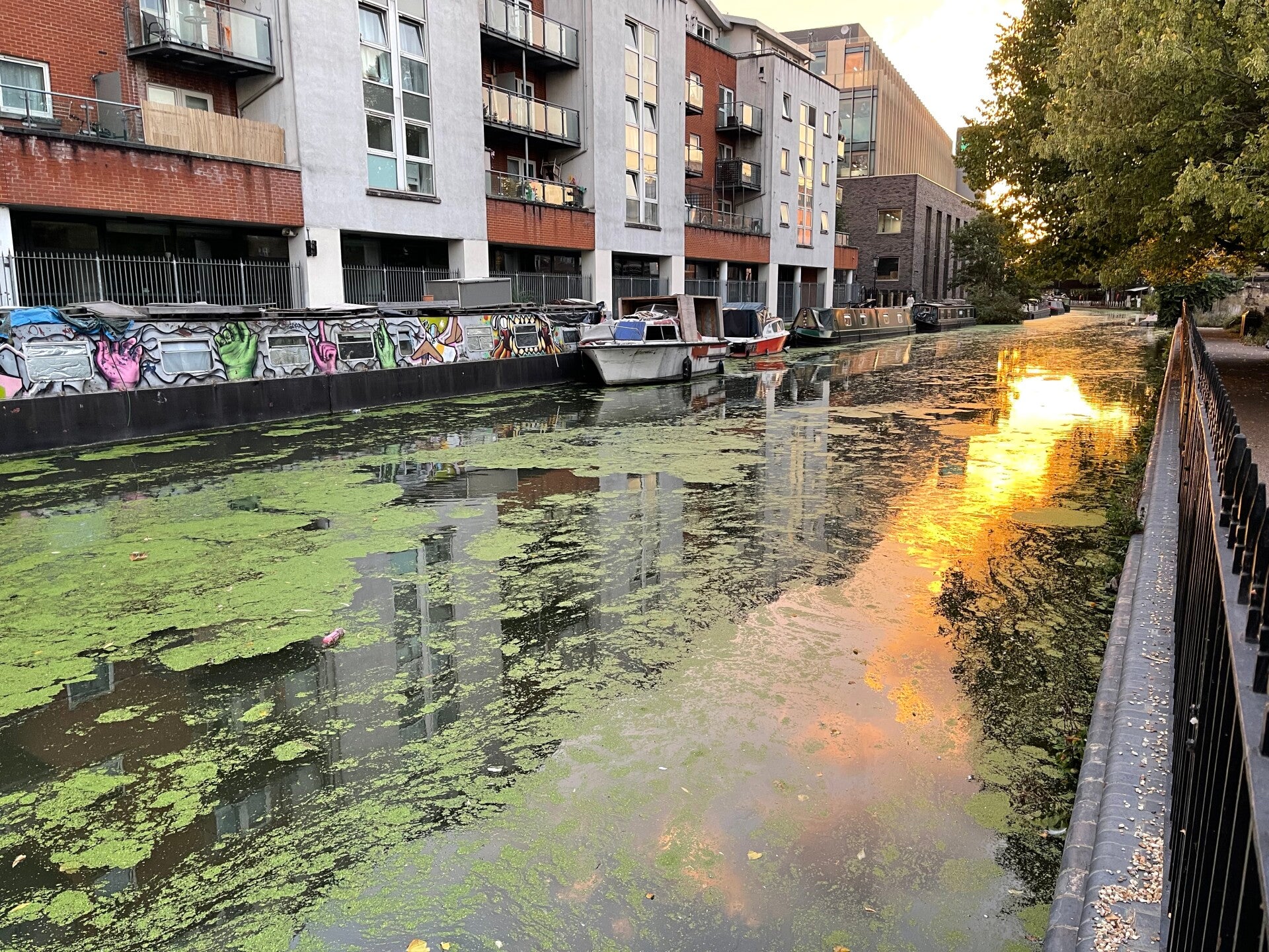
The vegetation is highly fragmented into relatively small patches, with considerably more open water than in the heavily covered photographs from the previous period.
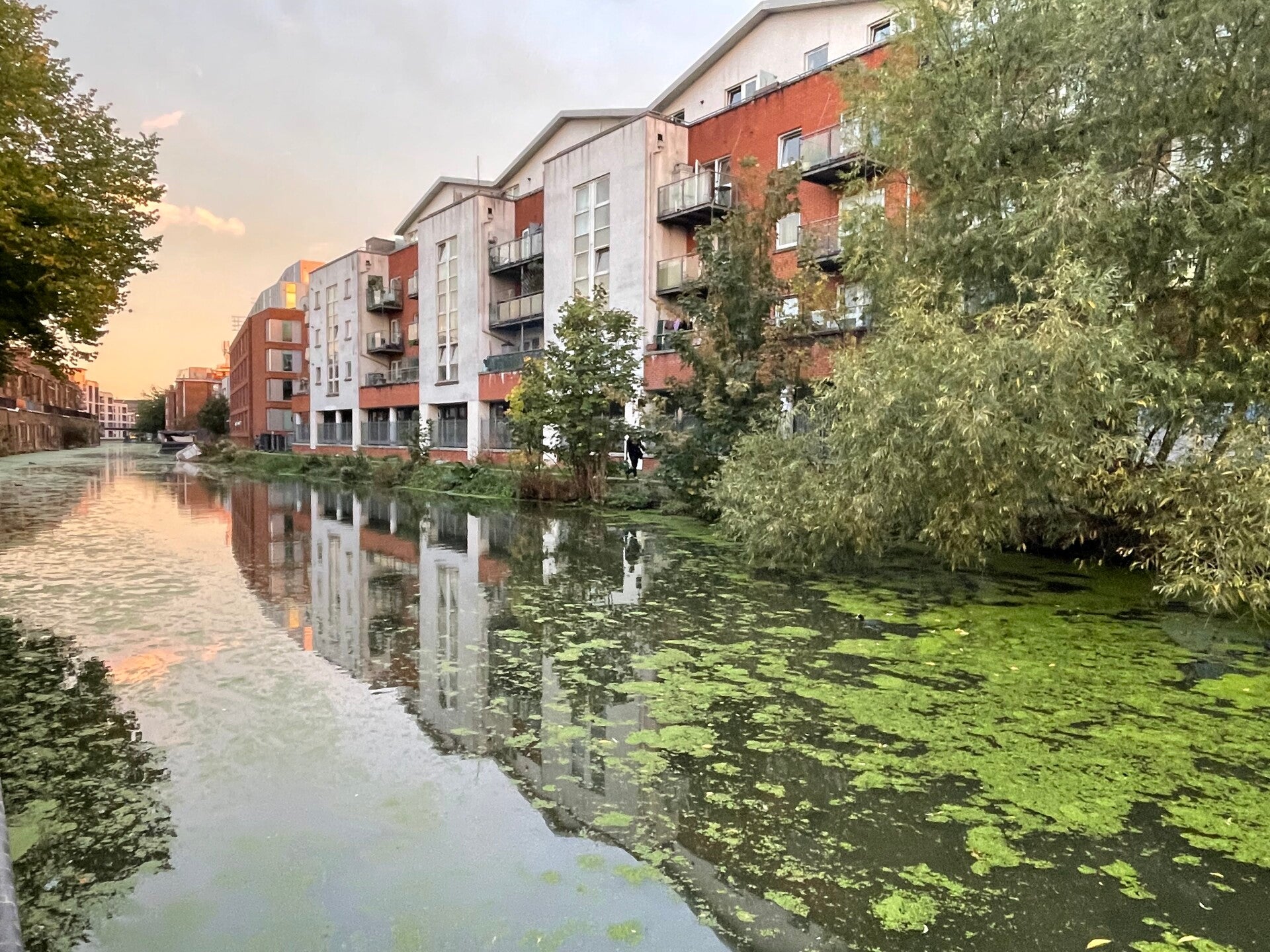
There is a broad area of relatively open water through the centre-left, while floating vegetation becomes progressively denser towards the right bank and especially beneath and around the overhanging tree.
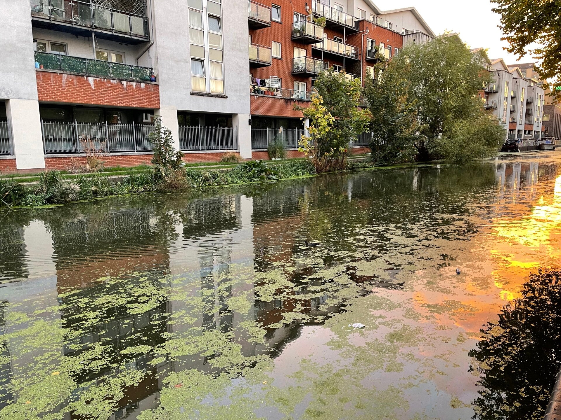
The photo shows fragmented mats, but they are spread across more of the foreground. There are still sizeable areas of exposed water between them.
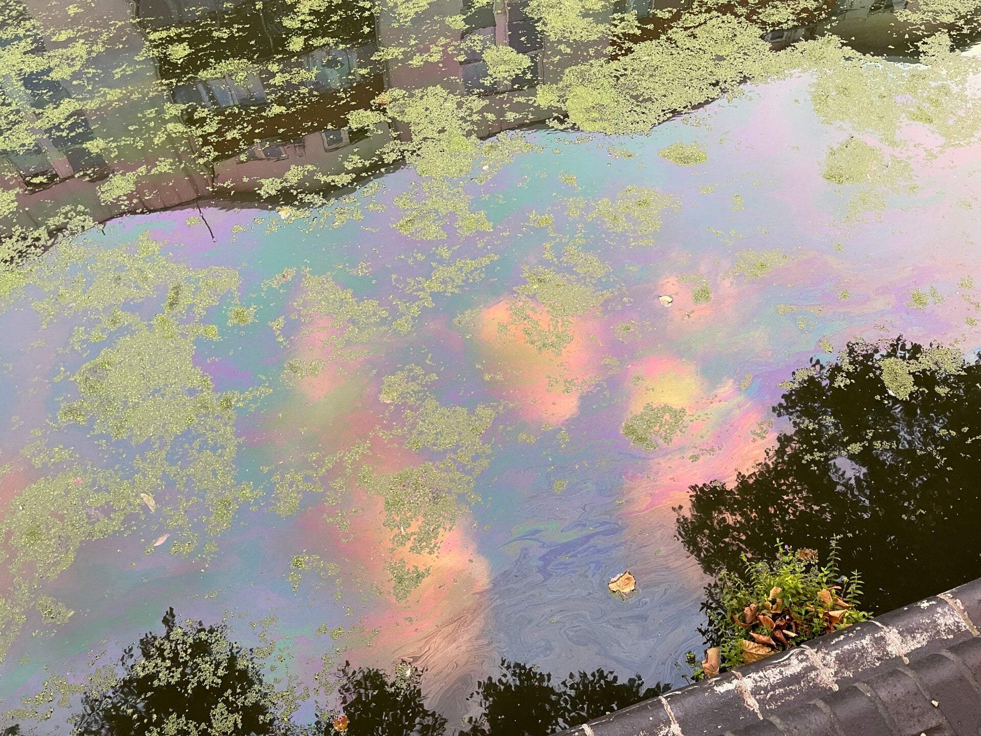
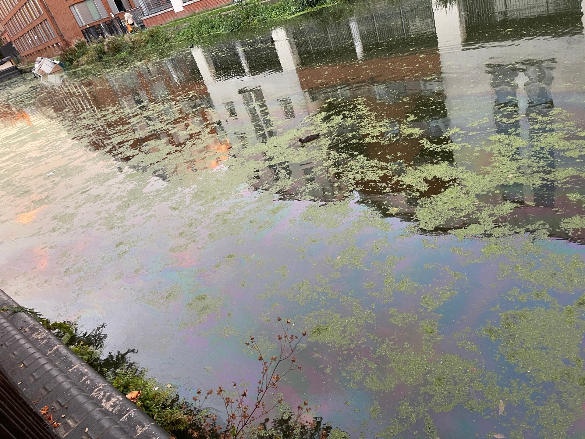
A clearly visible iridescent oil sheen was present on the water surface, forming rainbow-coloured streaks and swirling patterns between patches of duckweed. This represents a notable deterioration in visual condition.
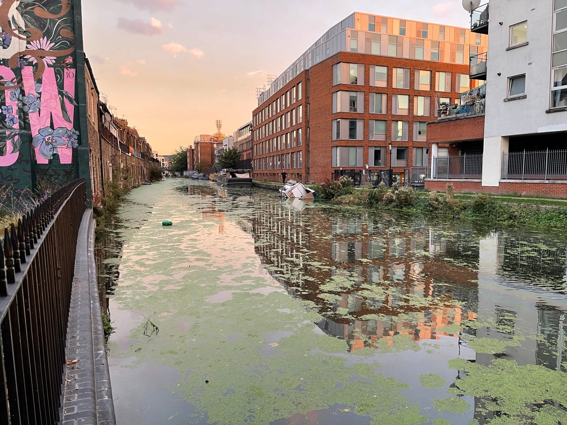
A green container was observed floating on the canal close to the area where an extensive oil sheen was subsequently recorded. It is not possible to determine from the photographs whether the container contained oil or was responsible for the pollution
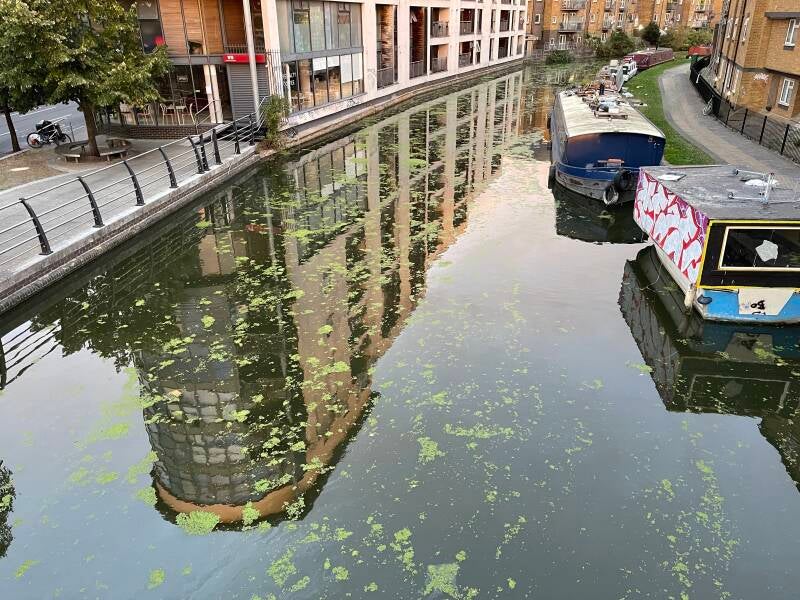
View from Ha'Penny Bridge looking East
Scattered and locally concentrated patches of duckweed, particularly towards the margins and around the moored boats. Most of the central channel is open water.
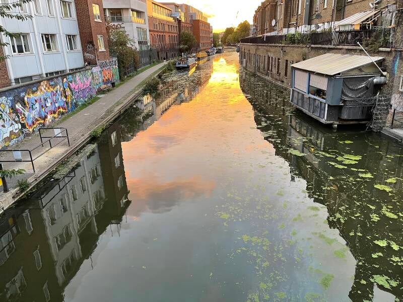
View from Ha'Penny Bridge looking West
Relatively clear open water dominates the centre, while duckweed has collected along both canal edges and in quieter areas. The distribution looks fragmented rather than forming continuous green mats. An oily sheen can be seen running along the centre right side.
Overall Visual Assessment: Based solely on these visual observations...
| Indicator | Observation | Assessment |
|---|---|---|
| Water colour | Unusual / poor colour | ■ Poor |
| Water clarity | Moderate | ▲ Fair |
| Water movement | Stagnant with signs of deterioration | ✖ Very Poor |
| Floating litter | Some | ▲ Fair |
| Surface pollution | Severe | ✖ Very Poor |
| Algae / floating vegetation coverage | Extensive — more than 75% | ✖ Very Poor |
| Wildlife activity | Very little observed | ■ Poor |
| Oil / foam | Significant | ■ Poor |
| Bank vegetation | Healthy / abundant | ● Excellent |
Waterway appears to be in very poor visual condition, with several indicators of pollution or environmental deterioration requiring attention.